Journal · How I travel · At the kitchen table · 7 min
How I plan every trip on paper first
A folded road map, a pencil and one sheet of A4. The planning method behind every guide, and why it beats forty browser tabs.
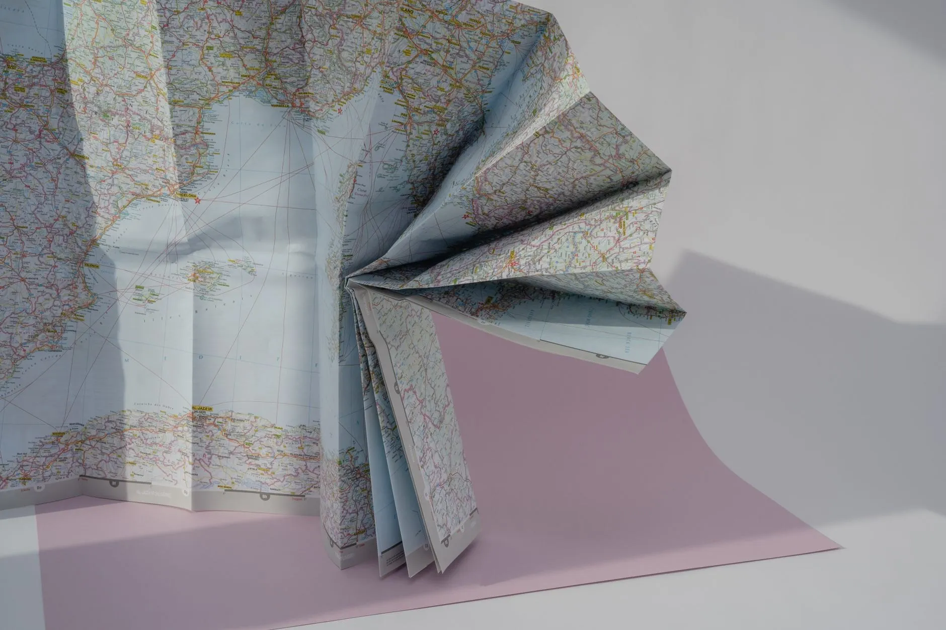
Every Postmarked guide starts the same way: a paper map of the region spread over the kitchen table, a soft pencil, and one sheet of A4 folded in half.
The map comes first because it shows you the shape of a place before anyone tells you what to think of it. Where the roads bend, where the railway gives up, where the towns cluster along a river and where there is simply nothing for forty miles. A screen shows you whatever is nearest. A map shows you everything at once.
The one-sheet plan
On the left half of the A4 go the fixed points: flights, the first night’s bed, anything that has to be booked. On the right half go the loose ideas, with a pencil line through each one that turns out to be too far, too expensive or too busy. By the end of an evening, the right half is mostly crossed out, and what is left is the trip.
Why it works
- It is slow. Planning at the speed of a pencil means you notice distances.
- It is finite. One sheet cannot hold forty places, so you choose.
- It travels. The sheet goes in the back of the notebook and gets annotated on the road.
The newsletter has a printable version of the sheet every spring.
Quick answers
Do you still use a phone map on the road?
Yes, for the last few hundred metres. The paper map is for deciding where to go; the phone is for finding the door.
Where do you buy paper maps now?
The national mapping agency of most countries still sells them, and station kiosks often stock the regional ones. Tourist offices usually have a free town plan that is better than you expect.